
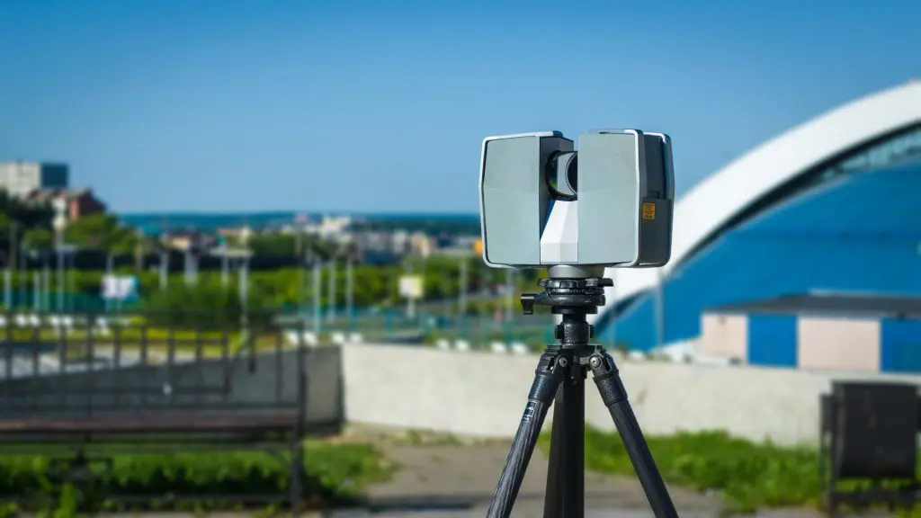
LiDAR Scanning
Sets, facilities, and whole sites captured as accurate, measurable point clouds. The spatial backbone of every digital twin we build.
Cameras capture how a place looks; LiDAR captures how it truly measures. Our long-range scanners sweep spaces into dense, registered point clouds with survey-grade relative accuracy, on set between company moves or across a facility without stopping operations. That data becomes reference for VFX, geometry for digital twins, and ground truth for simulation.
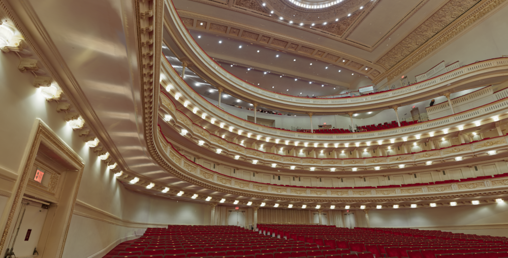
Sets & Locations for VFX
Productions scan sets for a simple reason: once it wraps, it’s gone. LiDAR preserves every stage, backlot, and location as measurable reference for set extension, digital environment reconstruction, and post-wrap continuity. We scan between setups with minimal disruption to the shooting day, and the data delivers aligned and ready for environment and layout teams.
Facilities, Twins & Training Environments
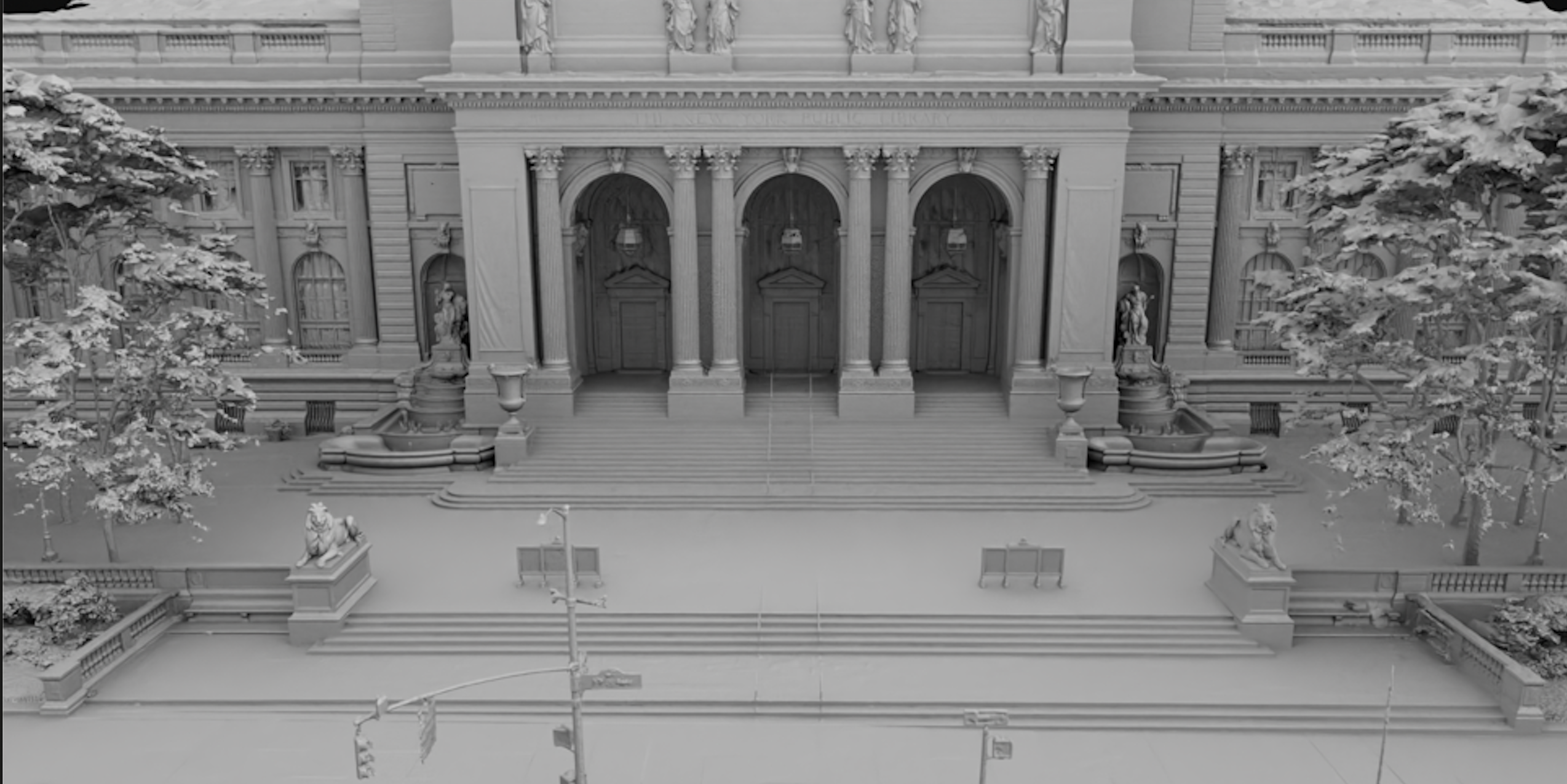
For government and industrial clients, LiDAR is the documentation layer: warehouses, ranges, plants, and historic structures captured as registered point clouds that feed digital twin packages, XR training environments, and scan-to-simulation workflows. For the Crestmore House preservation project, long-range LiDAR combined with laser scanning to document a full exterior the truck couldn’t reach alone.
Point Cloud to Pipeline
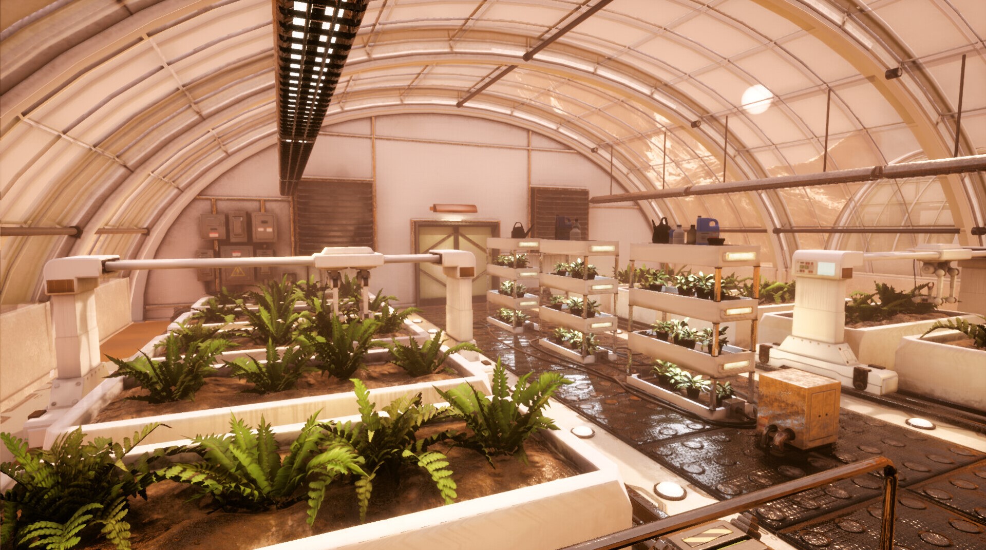
Raw sweeps become working data through registration, cleanup, and meshing: registered point clouds in E57, LAS/LAZ, and PLY, reference meshes in OBJ and FBX, and textured, optimized environments in GLB/glTF and USD for Unreal, Unity, and XR. Combined with drone photogrammetry for exteriors and photogrammetry for texture, one visit produces a complete environment package.
Capture the Whole Space
Sets, facilities, or sites: tell us the square footage and the deliverable, and we’ll scope the scan.