
Drone 3D Scanning
The view the truck can’t reach: rooftops, facades, terrain, and large exteriors captured from the air and merged with ground data.
Ground scanners see what they can reach. Drone photogrammetry completes the picture from above, capturing rooflines, upper facades, terrain, and site context that no tripod can. On its own it produces exterior models and site surveys; combined with long-range LiDAR and ground photogrammetry, it closes the last gaps in a full-site digital twin.
What the Air Adds
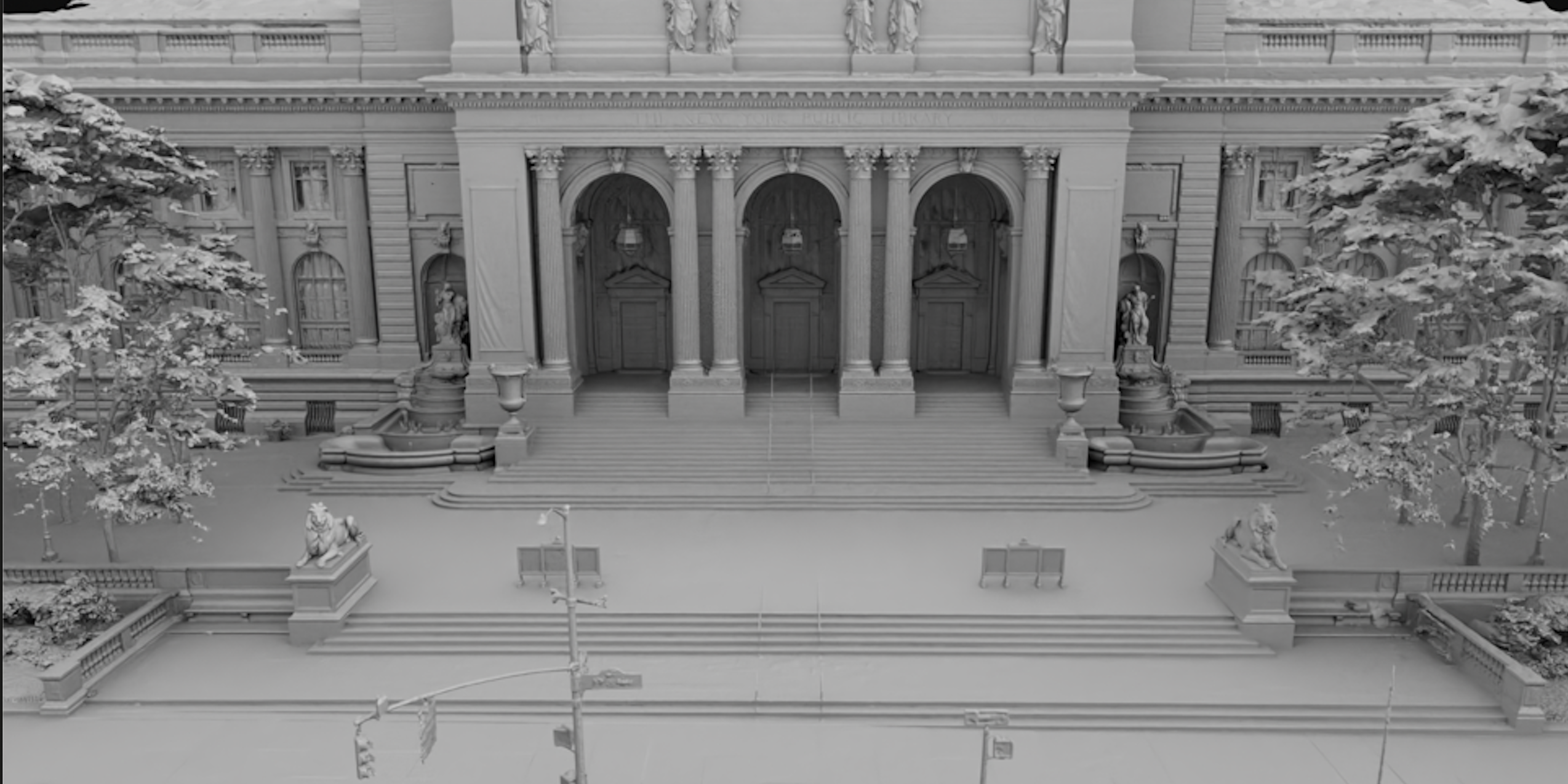
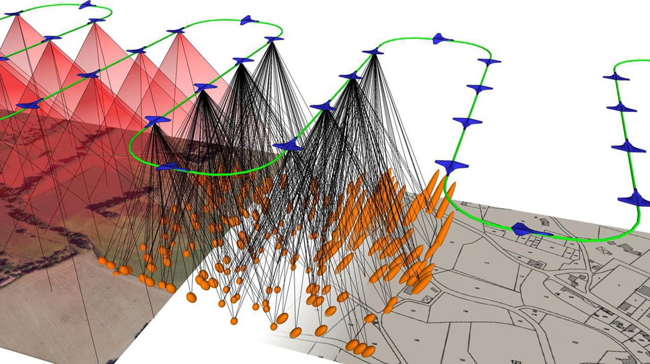
Overlapping aerial photography reconstructs into textured 3D models of everything elevated or expansive: building exteriors and rooflines, historic architecture, terrain and landscaping, lots and full campuses. It was part of the toolkit on our Crestmore House preservation project, where elevated rooflines required capture the ground systems couldn’t reach alone.
Merged With Ground Truth
Aerial photogrammetry and ground LiDAR are better together: the drone contributes coverage, the LiDAR contributes measurable precision, and registration merges both into one coherent dataset. That workflow supports full-site digital twins, VFX location packages, facility documentation for government programs, and terrain for simulation environments.
Site-Scale Deliverables
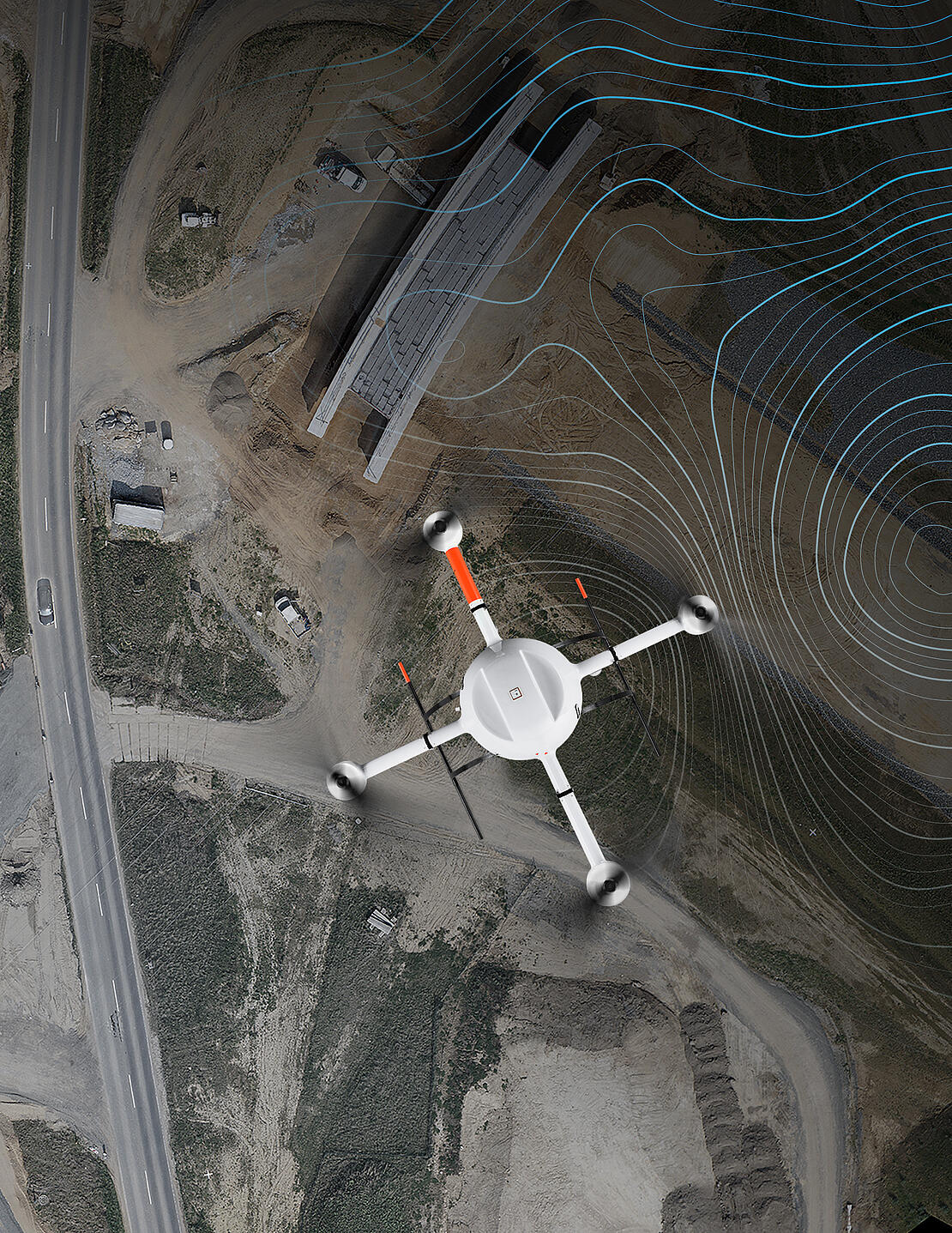
Aerial datasets deliver as textured meshes, orthographic reference, and point clouds, integrated into the same formats as our ground capture: E57, LAS/LAZ, OBJ, FBX, GLB/glTF, and USD, ready for Unreal, Unity, XR, and simulation platforms. One site visit, one aligned package, every angle covered.
Cover the Whole Site
Exteriors, terrain, campuses, and everything the tripod can’t see. Tell us about the site and we’ll scope the flight.