
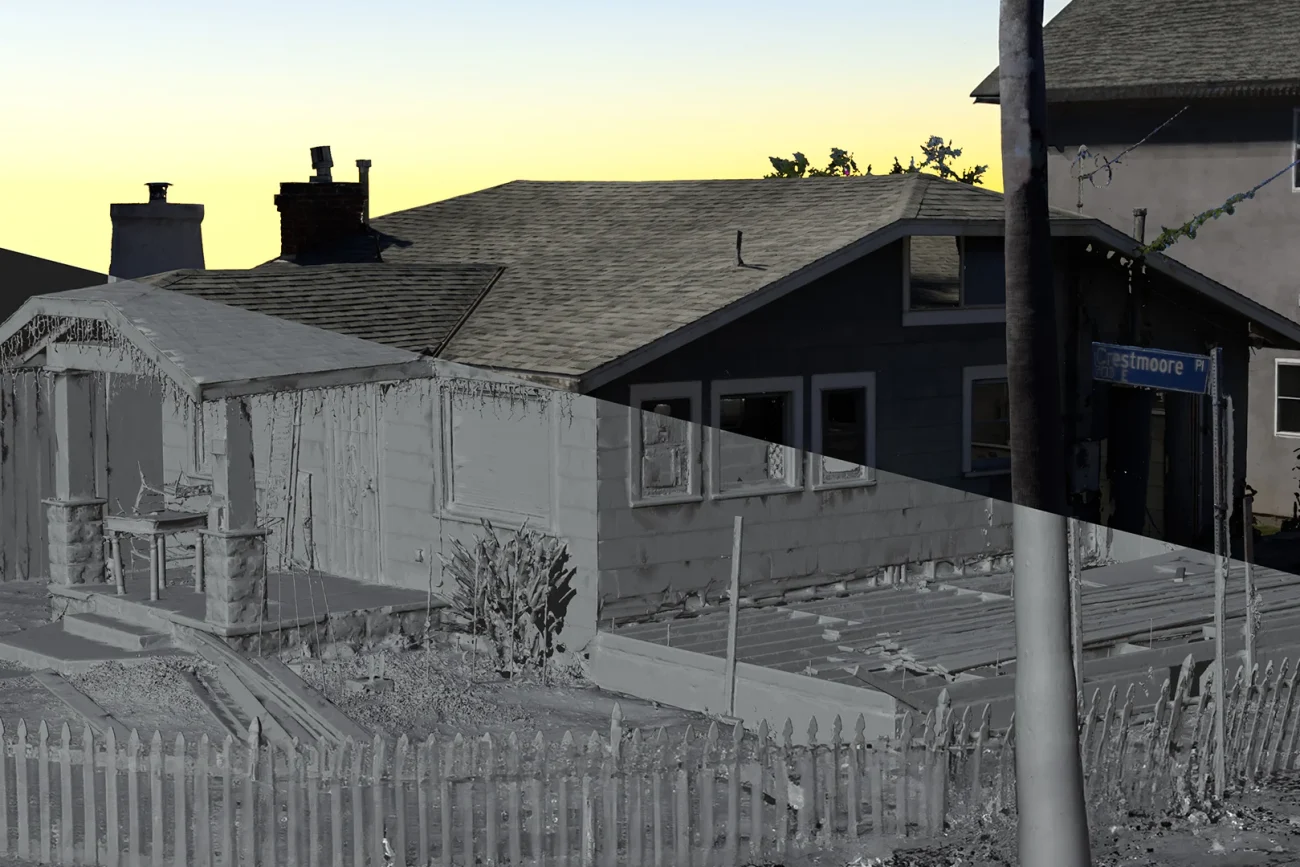
Environment & Facility 3D Assets
From raw LiDAR point clouds to simulation-ready digital twins of sets, sites, and facilities.
Film sets, heritage sites, training facilities, and industrial spaces all become usable 3D data through the same pipeline: long-range LiDAR and drone capture on location, then processing to whatever level your project consumes. We have digitized environments for VFX set extensions, delivered scan data behind a U.S. Army VR training simulation, and captured excavation sites for the Natural History Museum at the La Brea Tar Pits.
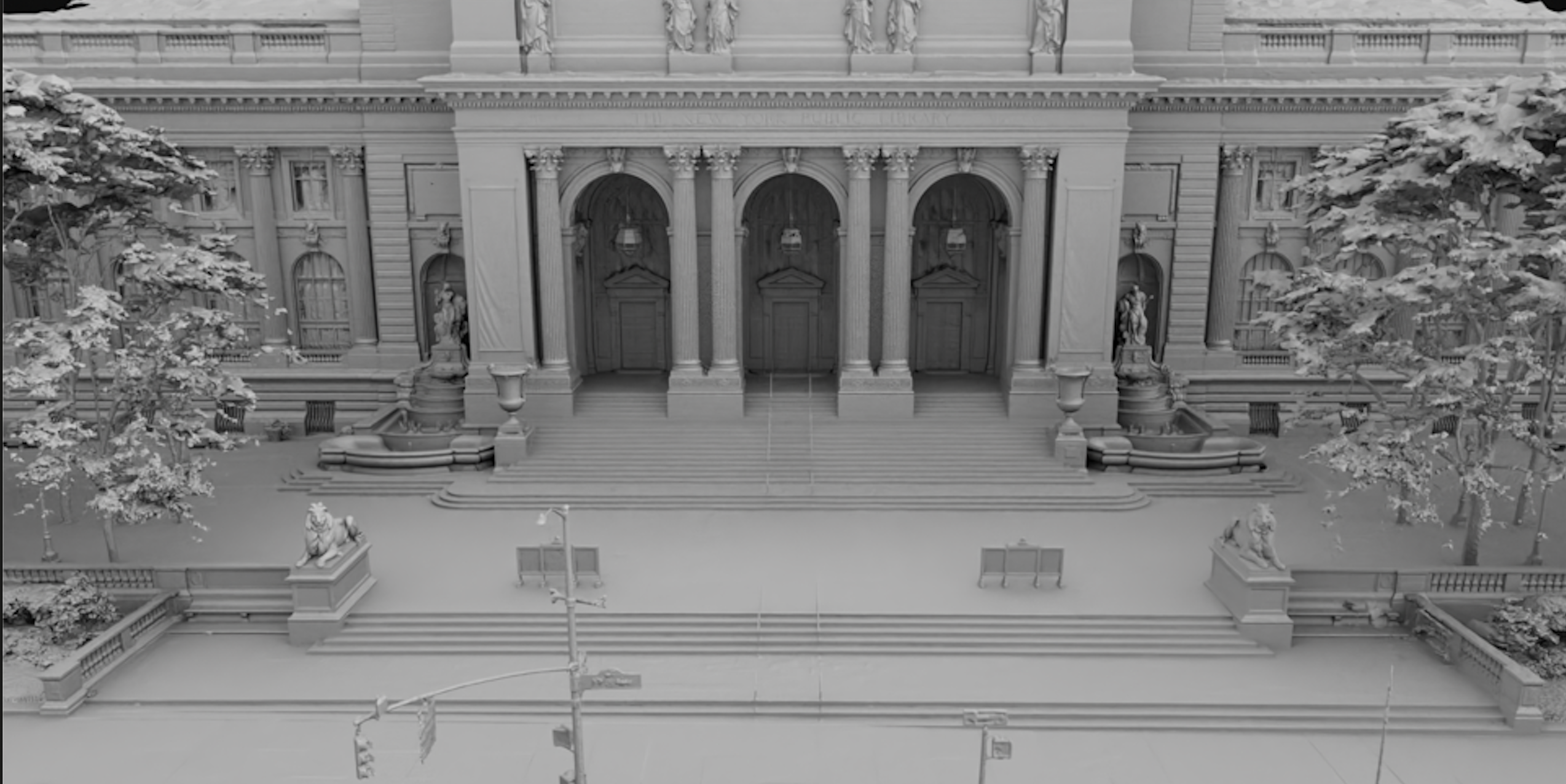
Captured From Ground and Air
Long-range LiDAR sweeps the interior and site from multiple station positions while drone photogrammetry covers rooflines, facades, and terrain no tripod can reach. Registration merges every pass into one coherent, measurable dataset, the raw material for every level of this ladder.
Scan-to-Simulation, Proven in Training
The top of this ladder is a working simulation. On a U.S. Army program, military equipment and environments were digitized and delivered into a functioning VR training simulator, the full path from physical site to interactive, engine-ready training environment.
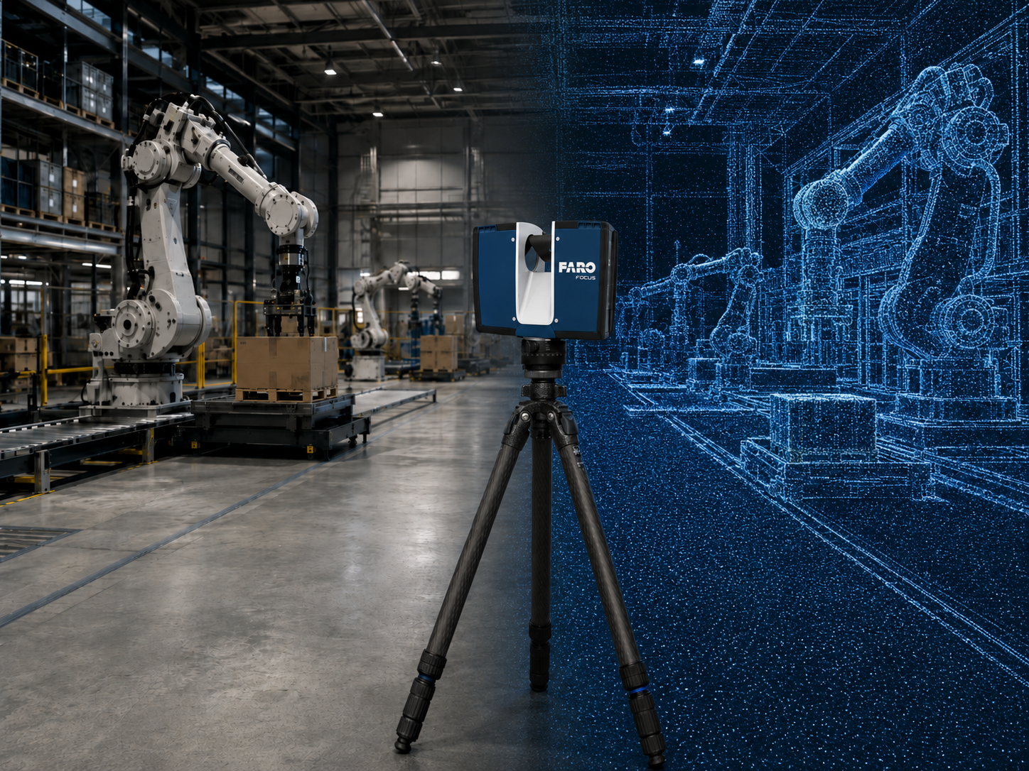
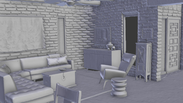
Preserving Real Places
Environments do not wait. Film sets strike, dig sites close, historic structures change. We have captured excavation sites at the La Brea Tar Pits for the Natural History Museum of Los Angeles County and preserved sets and locations that no longer exist anywhere else.
The Processing Ladder
Each level builds on the one before it. Pick the handoff point that matches your team and budget.
1. Raw LiDAR point cloud
Unprocessed scanner output from every station position. Maximum fidelity and full metadata, for teams that run their own registration and processing.
2. Registered and cleaned point cloud
All scan positions aligned into one coordinate system, with noise, ghosting, and moving objects removed. The standard survey-grade deliverable in E57 or LAS.
3. Environment reference mesh
The point cloud converted to a dimensionally accurate mesh. What VFX teams use for set extensions, camera tracking, and shot layout.
4. Textured environment asset
Photographic texture projected onto the mesh, so the space reads correctly in renders and reviews, not just in wireframe.
5. Optimized real-time environment
Geometry and materials rebuilt to run at frame rate: sensible polycounts, LODs, and PBR materials for interactive walkthroughs and games.
6. Digital twin asset package
A structured, documented replica of the facility: measurable, inspectable, and organized for planning, documentation, and operations use.
7. Unreal, Unity, XR, or simulation-ready environment
The full build: engine-integrated environments for VR training, XR experiences, and simulation platforms. The level behind our scan-to-simulation work for U.S. Army VR training.
Export Formats
E57 · LAS · LAZ · PLY · OBJ · FBX · GLB / glTF · USD / USDZ · Unreal Engine · Unity · Blender · point clouds · mesh files · texture maps
Working to a survey spec or engine convention? Send it with your brief and the data arrives structured to drop straight in.
Your Site, Captured and Delivered
We scan on location nationwide, on stages, at heritage sites, and inside secure facilities, with on-site data handling available for sensitive programs.